B.L.T Rails to Trails | Timberlea to the Bike and Bean
Out and Back
To be honest this is a boring ride, there is some nice scenery however. You also have to cross St. Margarets Bay Rd quickly which can add a bit of stress depending on the time of day.
Conditions on the day
September 23, 2026What it's like to ride
Worked out by Pedal Pixel from the route, the map and a pace model, for three riders on a gravel bike.
How long does it take?
Riding time at a steady pace. Add about 5 minutes for stops.
What tires should I run?
It's all rail trail: packed gravel, smooth and nearly flat. Gravel tires around 35–42 mm are ideal; road tires of 32 mm or more get by when it's dry.
Are there any climbs?
No climbs to speak of: it's never steeper than about 3% for more than a few metres.
Where does it get hard?
Nowhere much. With no real climbs it's an easy ride the whole way for a regular rider (about 66% of threshold); a headwind is the thing to watch.
Food and water
About 550 kcal for a regular rider and a bottle or two. Water: BYOW (fill up at Bike and Bean). On a ride this short, water and maybe a snack is plenty.
Those are made-up riders. See your own time, how hard it'd be for you and where it bites, at your pace. Free, no account.
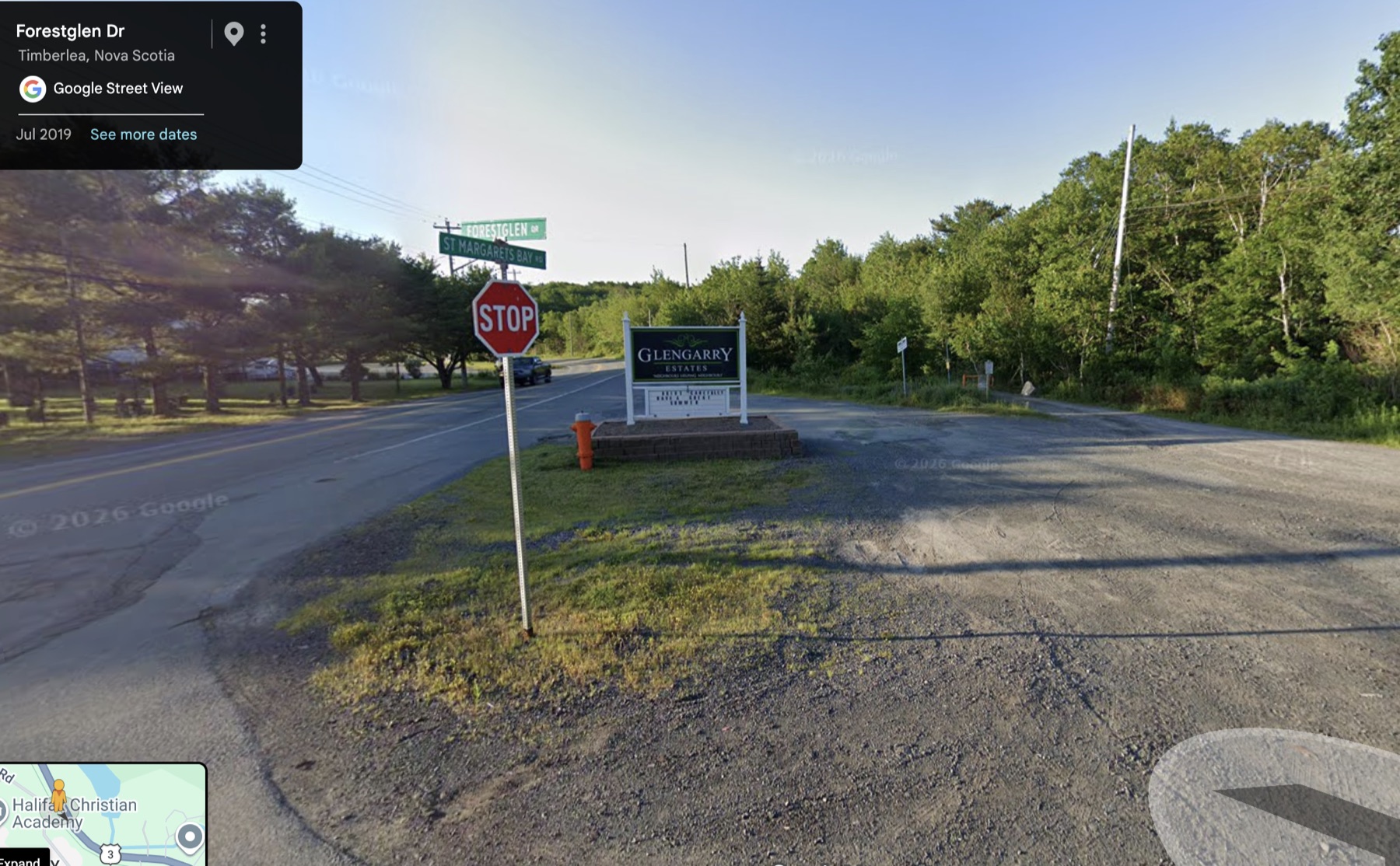
Preview it at your pace →This is a simple rail to trails ride from Timberlea B.L.T to the Bike and Bean in Upper Tantallon, there is not much to it, some gradual inclines, mainly gradual downhill on the way there (very gradual). Its about 13 KM if you start at the small area for parking beside the trail where it says Glengarry Estates (Forestglen Drive / St Margarets Bay Rd - see picture)
Difficulty level - Easy
Photos